Every March, while Lake Bomoseen is still frozen over, Woodard Marine fills its lot with more than 80 boats for the BomoWatch Boat Show and Beach Bash. Pontoons and wake boats sit under a tent, engines cold, weeks before anyone can put them in the water. It looks premature until you understand who the show is actually for: not tourists, who are still months away, but the people who already live on this water and are done waiting for spring.
That gap between the calendar and the ritual is the first clue that "the Lake Communities" isn't one place. It's marketed as a single lake-life package, Lake St. Catherine and Lake Bomoseen bundled together as if they're interchangeable. Anyone who has actually spent a season here knows better. There are three distinct shorelines doing three different jobs, and knowing which one you're standing on changes what your weekend looks like.
The Working Shore: Castleton and Hydeville
Drive along the Castleton and Hydeville side of Lake Bomoseen and you're on the commercial shore. This is where Woodard Marine rents pontoons, runabouts, and fishing boats by the day or the week, and where Captain Luke runs guided fishing charters for anyone new to the lake's brown trout, largemouth and smallmouth bass, and northern pike. It's also where the restaurant row lives: the Lake House Pub & Grille, set on the water with a view across Crystal Bay toward Neshobe Island, and Lake Bomoseen Lodge & Taproom, which pours from sixteen taps and stocks more than forty canned options for anyone getting off a boat and not ready to go home yet.
Walk a few blocks into Castleton village and the mood shifts from dock to Main Street. The Birdseye Diner has been serving the classic breakfast-lunch-dinner rotation on Main Street for years, and Robo's Creemees & General Store covers the soft-serve and grocery run in the same trip. Head the other direction toward Hydeville and you hit Paul's Family Pizza, dough made on premises, the kind of order-ahead spot that exists because people are hungry after a full day on the water, not because it's trying to be a destination.
This shore runs on transactions. Slips, rentals, tabs, orders. It's the Bomoseen that shows up first in any search, because it's the Bomoseen with a phone number and a menu.
The Quiet Shore: Bomoseen State Park
Cross to the western side of the same lake and the character flips entirely. Bomoseen State Park covers more than 2,000 acres of forest and shoreline, with a sandy beach, a picnic pavilion that seats up to a hundred people, and a snack bar that rents canoes, kayaks, rowboats, and pedal boats for anyone who didn't bring their own. Fifty-five tent and RV sites and ten lean-tos fill in through the summer, some wooded, some open and grassy, a few right along the water.
What sets this shore apart isn't the swimming, though. It's the ground underneath it. Before it was parkland, this stretch belonged to the West Castleton Railroad and Slate Company, a complex that once ran sixty to seventy buildings between Glen Lake and Bomoseen. The self-guided Slate History Trail runs past several of the old quarry sites, and colorful slate rubble still surfaces along the shoreline, a physical reminder that this land supplied roofing slate before it supplied kayak rentals. Castleton's own visitor guide notes that bald eagles nest on the lake, one more thing this water was doing long before anyone rented a pontoon on it.
Two shorelines, one lake, and almost no overlap in how they're used.
The Sibling Lake: Lake St. Catherine
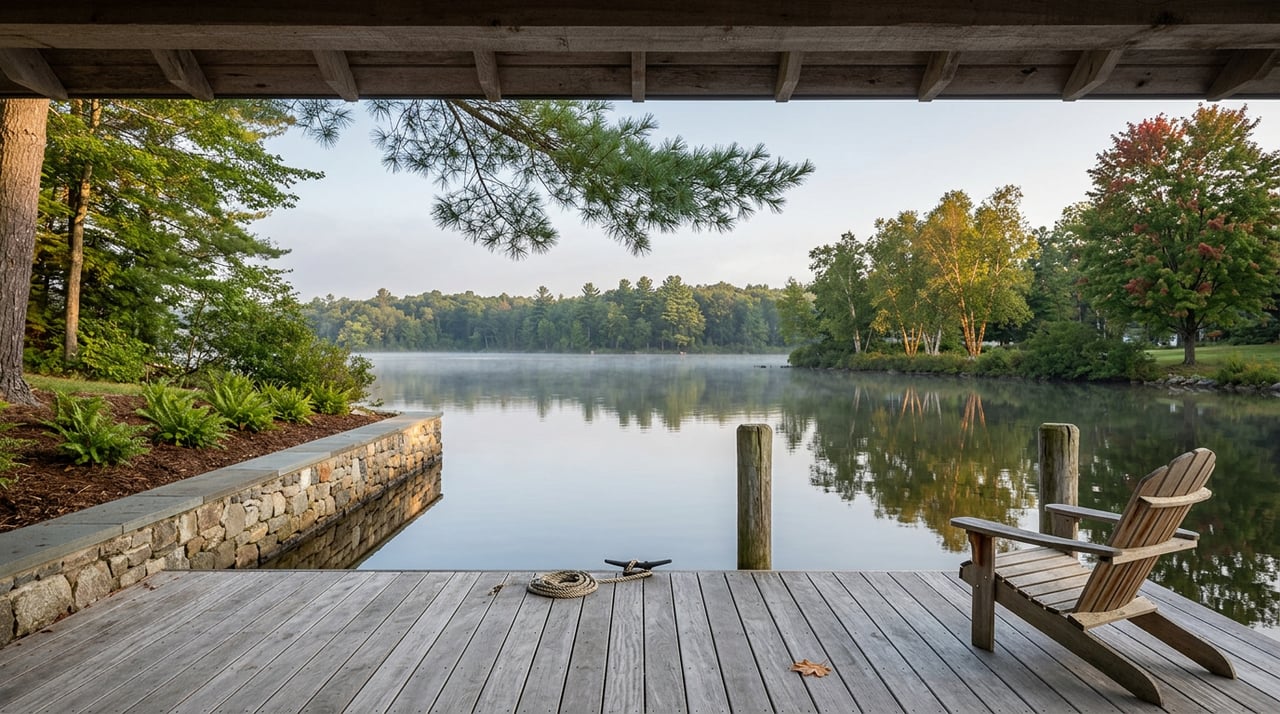
Then there's Lake St. Catherine, a short drive south in Wells, which gets folded into the same "Lake Communities" label but runs at a different volume entirely. Its state park has fifty tent and RV sites, eleven lean-tos, and one cabin, plus a nature center and a snack-bar concession renting the same canoes and kayaks you'd find at Bomoseen. What it doesn't have is a restaurant row. No marina with a boat show. No taproom pouring sixteen beers on draft. The land here was a boys' summer camp and farmland before it became parkland, and the pace still reflects that history: swimming, picnicking, a short walk over sand to the water, nothing built around turning boats over quickly.
If Bomoseen's Castleton shore is the working lake and its western shore is the historical one, St. Catherine is the restrained one. Residents who split time between the two aren't choosing between two versions of the same thing. They're choosing between three different registers of the same season.
| Castleton/Hydeville shore (Bomoseen) | State park shore (Bomoseen) | Lake St. Catherine | |
|---|---|---|---|
| Boat access | Woodard Marine rentals, slips, guided fishing | Canoe/kayak/pedal boat rental only | Canoe/kayak/pedal boat rental only |
| Dining | Lake House Pub & Grille, Lake Bomoseen Lodge & Taproom, Birdseye Diner, Robo's Creemees, Paul's Family Pizza | Snack bar concession only | Snack bar concession only |
| Camping | Lake Bomoseen KOA Holiday (private) | 55 tent/RV sites, 10 lean-tos | 50 tent/RV sites, 11 lean-tos, 1 cabin |
| Defining feature | Marina culture, restaurant row | Slate History Trail, quarry ruins | Nature center, boys'-camp history |
The Weekend That Actually Works
Ask someone who's lived here through a few summers how they string these three together and the pattern is consistent. Morning starts on the Castleton side, a run out with Woodard Marine or a few hours with Captain Luke chasing perch and bass before the lake gets crowded. Lunch happens wherever the boat lands, often the Lake House for the view of Crystal Bay or a faster stop at Robo's for creemees and a grocery run. Afternoon is when people cross to the state park side, not to boat but to walk the Slate History Trail or let kids swim at the beach while the pavilion fills with someone's family reunion. If the plan stretches into a full weekend, St. Catherine is where the tent goes up, not because it's a lesser lake but because it's the one built for staying rather than doing.
None of this is a secret exactly, but it's not how the two lakes get written about either. Most coverage treats "the lakes" as a single scenic backdrop, worth a paragraph about clear water and good fishing and moving on. The people who actually live here know the geography does the deciding: which shore you're on tells you whether you're renting a slip, walking a quarry trail, or pitching a tent for the weekend.
The Season Ahead
The BomoWatch show already ran its March dates for 2026, but the pattern it sets holds for the rest of the season. Ice-out on both lakes gets tracked closely by the same residents who show up for the boat show in March, the same restlessness pointed at a different milestone. Once the lake is clear, the working shore fills first, the state park side fills through the warm months as families settle into camping season, and Lake St. Catherine keeps its slower rhythm straight through fall.
If you already live near one of these shores, you likely know its rhythm better than any of this. What's worth remembering is that your neighbors on the other lake, or the other shore of the same one, are living a different summer than you are, even though the map calls it all one name.
Whether your next move keeps you on the water you know or has you eyeing the shore you've only visited, Wohler Realty Group knows this stretch of Southern Vermont shore by shore, not just by the name on the map. Explore the Lake Communities or reach out when you're ready to talk about what life on either lake actually looks like.